Rethymno: Over 95,000 Hectares Reduced to Ash in a Decade
Analysis of satellite images by the National Observatory of Athens calculates more than 95,000 hectares of burned areas in Rethymno during the period 2017-2026. The largest proportion, approximately 77,500 hectares, was in the Municipality of Agios Vasileios.
English Machine-translated from Greek · Read the Greek original
Greek local news in your inbox, every morning.Subscribe free →
Analysis of satellite images by the National Observatory of Athens reveals that more than 95,000 hectares burned in Rethymno during the period 2017-2026. The largest portion, approximately 77,500 hectares, was in the Municipality of Agios Vasileios, while the remainder was distributed across other areas of the prefecture. The data comes from satellite imagery of high resolution and scientific analysis.
The study’s methodology was based on orbital satellite data and data processing from Copernicus, the European Earth monitoring system. The analysis compares images before and after fire incidents, allowing for accurate calculation of burned area extent. The calculation of 95,000 hectares corresponds to approximately 9,500 hectares.
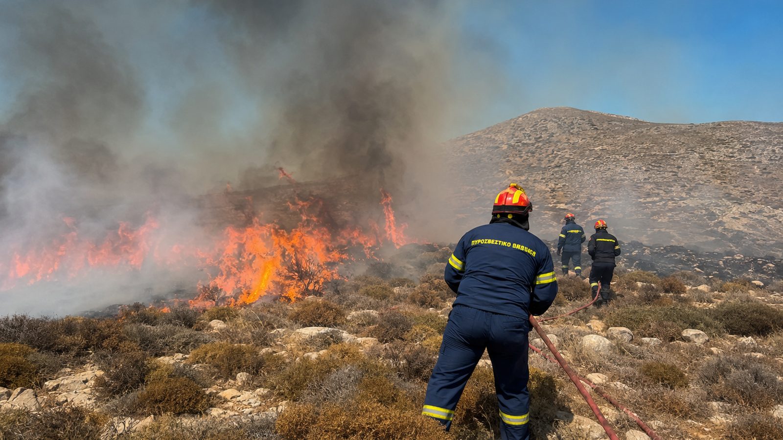
During the decade 2017-2026, Rethymno faced frequent fires, particularly in the summer months. The Municipality of Agios Vasileios, located in the mountainous region of the prefecture, was the main site of fires due to natural vegetation and climatic conditions. Many fires were large-scale and difficult to extinguish, particularly the periodic incidents that occurred in the summers of 2018 and 2023.
Burned area remains highly visible on satellite images, as the dark mass of burned material creates a distinct spectral signature. Observatory researchers differentiated burned areas into categories based on the time of burning, to determine which fire was responsible for each section. The temporal dimension of satellite monitoring enables the historicization of fire risk.
The consequences of forest and grassland destruction are not limited to biodiversity loss. Burned soils become vulnerable to erosion, particularly during winter rainfall, resulting in soil mass loss and water pollution. Reforestation and natural ecosystem recovery will take decades.
The National Observatory of Athens continues satellite monitoring with local fires in real time. Data feeds national and local environmental protection authorities, so they can plan restoration and prevention measures. However, predictions for future fire risk remain alarming, with climate becoming more hostile to recovery.
Reading this data is not an exercise in statistics, but a recognition of the situation facing Rethymno and all of Crete. More resources for prevention, faster response, and reforestation are necessary. Satellite technology will continue to provide objective representation of the environmental cost that the region pays.
Πηγές
- Πρωτογενείς πηγέςΠάνω από 95.000 στρέμματα έγιναν στάχτη στο Ρέθυμνο σε μια δεκαετία — IraklioNews · δημοσιεύθηκε 2026-08-11 · ανακτήθηκε 2026-08-11Τι αναφέρει: Τα μεγέθη των καμένων εκτάσεων στο Ρέθυμνο και στον Δήμο Αγίου Βασιλείου, καθώς και η μεθοδολογία και οι ερευνητές της ανάλυσης.