Porto Germeno: ground temperature up 14 degrees
Satellite data analysis by the METEO unit of the National Observatory of Athens shows a rise of 12 to 14 degrees in ground surface temperature within the burned area.
English Machine-translated from Greek · Read the Greek original
Greek local news in your inbox, every morning.Subscribe free →
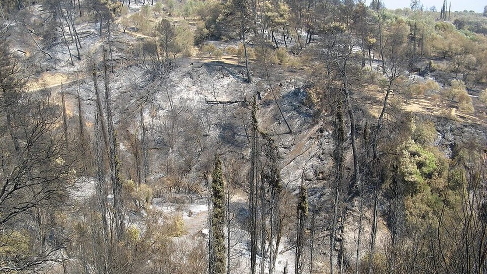
An increase in ground surface temperature of 12 to 14 degrees Celsius within the boundaries of the burned area of Porto Germeno has been recorded by an analysis from the METEO unit of the National Observatory of Athens. Scientists compared satellite data from two consecutive periods with similar weather conditions, so that the comparison would not be affected by changes in the weather: 31 July 2026, before the fire, and 16 August 2026, a few days after it was brought under control. In the second reading, values within the burned zone appear clearly higher compared with the corresponding values before the fire, while in neighbouring unburned areas the picture remains essentially unchanged.
Ground surface temperature is not the same as the air temperature shown by a thermometer or a weather forecast. It is the temperature of the ground itself and the materials covering it, as measured by satellites recording the thermal radiation emitted by the surface. On a summer midday this value can be much higher than the air temperature, especially over bare soil, rock or ash. Vegetation acts as a brake: it shades the ground and, through plant transpiration, converts part of the solar energy into water evaporation instead of heat returned to the atmosphere.
When vegetation is lost, this mechanism is removed. According to the analysis, the loss of plant cover is estimated to significantly affect the area’s energy balance, meaning the way solar energy is absorbed and released back. Porto Germeno administratively belongs to the Municipality of Mandra–Eidyllia, and the measurement covers exactly the days during which Attica was experiencing high temperatures, with the mercury in Western Attica hovering near 38 to 39 degrees. The burned ground is thus added as a local heating factor on top of an already strained thermal environment, in an area with permanent residents and a strong summer presence of visitors.
The three publications that presented the analysis agree on the range of the increase and the dates of the two measurements. None gives the extent of the burned area in hectares, none states how long the phenomenon will last, nor whether a new satellite reading is planned for comparison. It is also not specified whether the increased ground temperature affects the settlements neighbouring the burned area. Restoring plant cover is a slow process, and until it is complete the area remains more exposed both to heat and to soil erosion with the first rains. In the same area, the restoration of the bus connection after twenty years and the fire-victim support office of the Municipality of Mandra are the most recent local developments.
Πηγές
Πρωτογενείς πηγές
- Πόρτο Γερμενό: Έως και 14°C αυξήθηκε η θερμοκρασία του εδάφους μετά την καταστροφική πυρκαγιά — ΤΑ ΝΕΑ · δημοσιεύθηκε 2026-08-25 · ανακτήθηκε 2026-08-25
Επίσημες ανακοινώσεις
- Πόρτο Γερμενό: Η πυρκαγιά αύξησε έως και 14°C τη θερμοκρασία της επιφάνειας του εδάφους — The Press Project · δημοσιεύθηκε 2026-08-25 · ανακτήθηκε 2026-08-25
Μέσα ενημέρωσης
- Πόρτο Γερμενό: Η απώλεια βλάστησης αυξάνει τις θερμοκρασίες επιφάνειας, η ανάλυση των δορυφορικών δεδομένων — protothema.gr · δημοσιεύθηκε 2026-08-25 · ανακτήθηκε 2026-08-25