Fire risk and change in weather on Tuesday
Six regions move into very high fire risk on Tuesday, just as the weather changes with strong winds, falling temperatures and rain.
English Machine-translated from Greek · Read the Greek original
Greek local news in your inbox, every morning.Subscribe free →
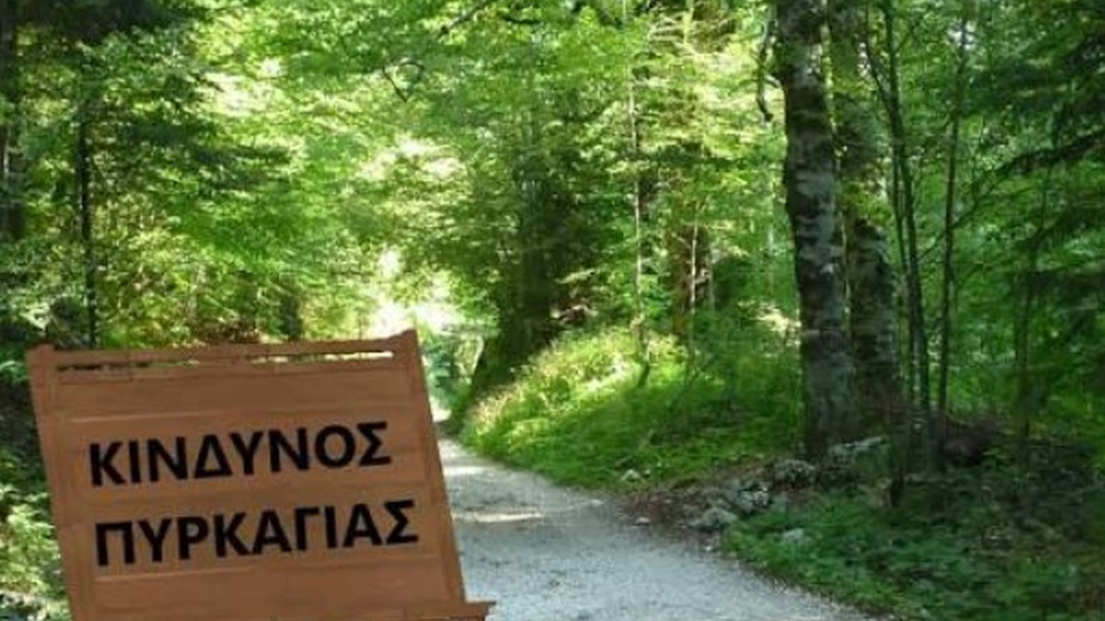
Very high fire risk, category 4, is forecast for Tuesday 8 September 2026 in six regions of the country, according to the daily fire risk forecast map. In this category are Central Greece, including Boeotia, Euboea and Skyros, Attica along with Kythira, the Peloponnese including Laconia, the North Aegean with Lesvos, Chios, Samos and Ikaria, as well as the Cyclades in the South Aegean. This is one of the highest levels of the fire risk forecast scale, covering a wide geographic span from northern to southern Greece. The specific map is updated daily by the competent services and is a key tool for planning civil protection policy at local level.
The warning coincides with a change in weather conditions from Tuesday, with falling temperatures, strong winds that are expected to reach 7 Beaufort in the Aegean, and rain forecast from the afternoon. The two developments are closely linked: the strong winds are precisely the factor that increases the risk of rapid spread of a fire if it starts, carrying sparks and feeding the flames with oxygen, while the rain expected later in the afternoon works in the opposite direction, limiting the risk after it passes. In other words, the same day starts dangerous in the morning and ends more calm in the evening, depending on when the rain reaches each area. The combined effect of temperature, wind and humidity is what ultimately determines the degree of danger for each day, which is why both the fire forecast and weather reports are better read together rather than separately.
In areas classified as category 4, there are usually restrictions on traffic and outdoor work that could cause fire, such as work using fire or machinery in forest and agricultural land, with decisions being announced by the competent regional authorities. For residents and visitors in areas such as Laconia or islands of the North Aegean such as Lesvos, Tuesday combines heightened vigilance for fire with the need for care due to the winds, especially in sea travel and ferry routes that may be affected by the intensity of the weather. Residents of semi-mountainous and forested areas are usually called to avoid any activity with a risk of ignition during peak hours of the day, even when no explicit ban has been announced.
The meteorological services are expected to update their forecasts as Tuesday approaches, while the regions are expected to announce any local restrictions based on the final risk assessment, as usually happens on days of high danger. The afternoon rain is expected to reduce the fire risk towards the end of the day, but this does not reduce the need for care during the morning and midday hours, when the winds will still be strong and the risk of spread greater. Until then, recommendations for caution remain in force for all areas included in the highest category of danger. Monitoring official announcements from the regions and the Civil Protection is the most reliable way of staying informed of any changes in the risk picture.
Πηγές
- Μέσα ενημέρωσηςΠολύ υψηλός κίνδυνος πυρκαγιάς την Τρίτη σε έξι περιφέρειες — in.gr · δημοσιεύθηκε 2026-09-07 · ανακτήθηκε 2026-09-07
- Μέσα ενημέρωσηςΚαιρός: αλλάζει το σκηνικό από την Τρίτη — πτώση θερμοκρασίας, ισχυροί άνεμοι και βροχές — in.gr · δημοσιεύθηκε 2026-09-07 · ανακτήθηκε 2026-09-07