Friday: 39°C, gale-force winds, fire alert
A heatwave up to 39°C, gale-force north winds in the Aegean and extreme fire risk in Crete, Rhodes and Karpathos on Friday 28 August, according to the National Weather Service and Civil Protection.
English Machine-translated from Greek · Read the Greek original
Greek local news in your inbox, every morning.Subscribe free →
Friday’s weather, 28 August 2026, remains largely clear in much of the country, with temperatures holding at high levels for the season. According to the forecast of the National Meteorological Service, as relayed by newsit.gr, the mercury will reach 37 to 38 degrees Celsius in western mainland areas and locally 39 degrees, while in the northeastern regions a slight drop to 34 to 36 degrees is expected. In central mainland areas, such as Thessaly, the mercury will move around 35 to 38 degrees, in island Greece around 32 to 33, and locally in southern Crete and the Dodecanese around 36 degrees. The high temperature comes as a continuation of the heatwave that had already been recorded on Thursday, 27 August, ahead of EMY’s forecast temporary drop. Cloud cover with brief showers is expected over mainland areas during midday and afternoon hours, while in northeastern Macedonia and Thrace the EMY predicts isolated thunderstorms.
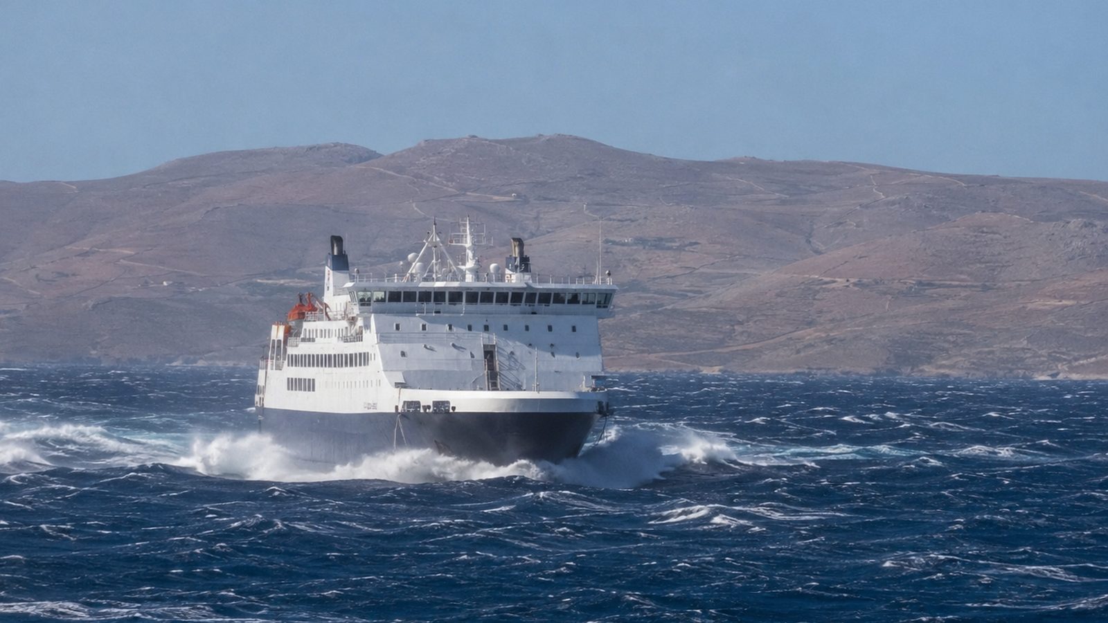
The main feature of the day remains, however, the strong wind field in the Aegean. Winds will blow from northern directions at 5 to 7 Beaufort, with local gusts up to 8 Beaufort in open waters, according to the EMY. In eastern Crete, the area expected to receive the highest wind intensity, gusts may reach locally 135 kilometres per hour, and in southern Crete 126 kilometres per hour, based on the ICON-EU model as presented by meteorologist Theodoros Kolydas in newsit.gr. He describes “a particularly adverse combination of very dry fuel, prolonged heat, and exceptionally intensified wind field,” noting that Crete’s pronounced relief can in sheltered areas and passes accelerate airflow even further. Similar intensity northern winds, with locally 8 Beaufort, are recorded in the Dodecanese and Cyclades, while in the Ionian the west-northwest winds intensify from midday locally to 7 Beaufort. For Attica, sources differ slightly as to wind direction (north-northeastern according to newsit.gr, east-southeastern according to cna.gr), but agree on 3 to 5 Beaufort intensity. Winds of such intensity in the Aegean typically complicate maritime routes and the departure of smaller vessels, with port authorities monitoring the phenomenon closely.
The combination of heat, prolonged drought, and gale-force winds led the General Secretariat for Civil Protection of the Ministry of Climate Crisis and Civil Protection to classify in Category 5 – Alert Status, the highest level of the Fire Risk Forecast Map, the Regional Units of Rethymno, Heraklion, and Lasithi in Crete, as well as Rhodes and Karpathos in the Dodecanese—where, according to a Fire Service post relayed by enikos.gr, the highest category also covers Castellorizo. In Category 4 – Very High Risk are classified Chania, the Ionian Islands, the Regional Units of Thesprotia and Preveza in Epirus, Lesvos, Chios, Samos, and Ikaria in the Northern Aegean, as well as the Cyclades, Kalymnos, and Kos in the Southern Aegean. This intensity comes one day after the fires that broke out on Wednesday, 27 August, in Chios, Euboea, and Grevena, reminding of the danger lurking in conditions of prolonged heat and winds. Civil Protection placed the involved services, regions, and municipalities on heightened alert and recommended to citizens to avoid actions in open air that can cause fire, recalling that field burning is prohibited during the fire season. In the event of discovering a fire, citizens are urged to notify the Fire Service immediately at 199.
The Fire Risk Forecast Map is issued on a daily basis by the General Secretariat for Civil Protection and revised as weather conditions evolve, while the responsible services remain on heightened operational readiness in all areas of high and extreme risk. None of the sources reports any substantial change to the general weather picture during the same day, with high temperatures and intensified northern winds remaining the dominant feature across the country, from Crete and the Dodecanese to Thessaly and Attica. Citizens and tourism and maritime professionals are urged to follow official announcements before moving to areas with extreme fire risk or sailing Aegean routes.
Πηγές
Πρωτογενείς πηγές
- Καιρός αύριο: Καύσωνας με 39άρια, καταιγίδες στα βορειοανατολικά και 8 μποφόρ — newsit.gr · δημοσιεύθηκε 2026-08-27 · ανακτήθηκε 2026-08-28
- Καιρός: Κόκκινος συναγερμός στην Κρήτη με ριπές ανέμων 135 χλμ/ώρα, ζέστη και ξηρασία - Οι περιοχές με ακραίο κίνδυνο πυρκαγιάς — newsit.gr · δημοσιεύθηκε 2026-08-27 · ανακτήθηκε 2026-08-28
Μέσα ενημέρωσης
- Ακραίος κίνδυνος πυρκαγιάς αύριο Παρασκευή: Κατάσταση Συναγερμού σε Κρήτη, Ρόδο και Κάρπαθο — enikos.gr · δημοσιεύθηκε 2026-08-27 · ανακτήθηκε 2026-08-28
- Η πρόγνωση του καιρού για σήμερα Παρασκευή 28/8/2026 — cna.gr · δημοσιεύθηκε 2026-08-28 · ανακτήθηκε 2026-08-28