Strong winds up to 9 Beaufort and Red Code alert
The Risk Assessment Committee convened Saturday, 8 August, ahead of strong northern winds reaching up to 9 Beaufort locally from Sunday. Very high fire danger is expected in six regions on Sunday, 9 August.
English Machine-translated from Greek · Read the Greek original
Greek local news in your inbox, every morning.Subscribe free →
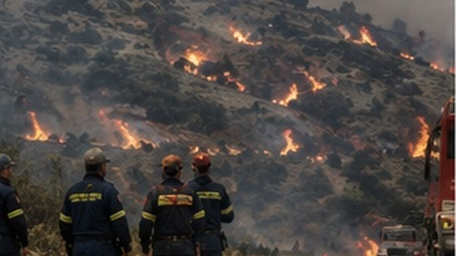
Authorities nationwide are placed on alert ahead of strong northern winds expected from Sunday, 9 August. The Risk Assessment Committee convened Saturday, 8 August, involving relevant services to evaluate the forecast and prepare the civil protection mechanism. The session occurred just days after a major wildfire struck Attica and Boeotia.
According to forecast, on Sunday, 9 August, northerly and north-easterly winds will blow with intensity 6 to 8 Beaufort in Thrace, Attica and Boeotia, Euboea, eastern and southern Peloponnese, Aegean islands, and Crete. From Monday, 10 August, winds strengthen further, reaching locally 9 Beaufort, while temperatures are predicted to rise to 39 degrees in western Greece.
For Saturday, 8 August, the daily fire danger forecast map of the General Secretariat of Civil Protection placed Category 4 - very high risk - in Crete and the Regional Units of Chios, Samos, and Ikaria. For Sunday, Category 4 extends to six regions, including Attica, Peloponnese, Central Greece, Northern and Southern Aegean, and Crete.
In areas classified as Category 4, the convening of local and regional civil protection coordinating bodies is requested to ensure readiness of means. Self-protection guidance provided to citizens includes avoiding burning of dry grass and branches, not using tools that produce sparks, avoiding outdoor barbecues, and not discarding lit cigarettes.
The combination of strong winds and high temperatures is what concerns services most, as a small fire source can develop into an extensive front in minutes. When gusts exceed specific thresholds, air assets become difficult or impossible to operate, meaning extinguishing relies exclusively on ground forces. Experience in recent weeks has made this scenario particularly evident.
No announcement has been made regarding additional preventive measures, such as traffic bans in forested areas at national level or preemptive repositioning of forces. Nor has it been clarified for how many days the strong winds episode is expected to last. Forecasts are updated daily and the final picture may differ from current data.
The Risk Assessment Committee will convene again on Sunday to update the situation. The new fire danger forecast map is issued every afternoon and posted by the General Secretariat of Civil Protection. Citizens are urged to stay informed from official sources and to call 199 immediately upon detecting smoke or flames.
Πηγές
Πρωτογενείς πηγές
- Ύψιστη επιφυλακή για φωτιές από αύριο: βοριάδες έως 9 μποφόρ και 39άρια — οι επικίνδυνες περιοχές — in.gr · δημοσιεύθηκε 2026-08-08 · ανακτήθηκε 2026-08-08Τι αναφέρει: Η σύσκεψη της Επιτροπής Εκτίμησης Κινδύνου, οι εντάσεις των ανέμων και οι περιοχές αυξημένου κινδύνου.
Επίσημες ανακοινώσεις
- Πολύ υψηλός κίνδυνος πυρκαγιάς σήμερα: Red Code σε Κρήτη, Χίο, Σάμο και Ικαρία — enikos.gr · δημοσιεύθηκε 2026-08-08 · ανακτήθηκε 2026-08-08Τι αναφέρει: Οι περιοχές που τέθηκαν σε κατηγορία κινδύνου 4 για το Σάββατο 8 Αυγούστου και οι οδηγίες αυτοπροστασίας.
- Επιτροπή Εκτίμησης Κινδύνου: Σε επιφυλακή οι αρχές λόγω των ισχυρών ανέμων που αναμένονται τις επόμενες ημέρες — ΕΡΤ · δημοσιεύθηκε 2026-08-08 · ανακτήθηκε 2026-08-08Τι αναφέρει: Το περιεχόμενο της σύσκεψης και ο συνδυασμός ανέμων με υψηλές θερμοκρασίες.