Wildfires: high risk on Friday, August 21
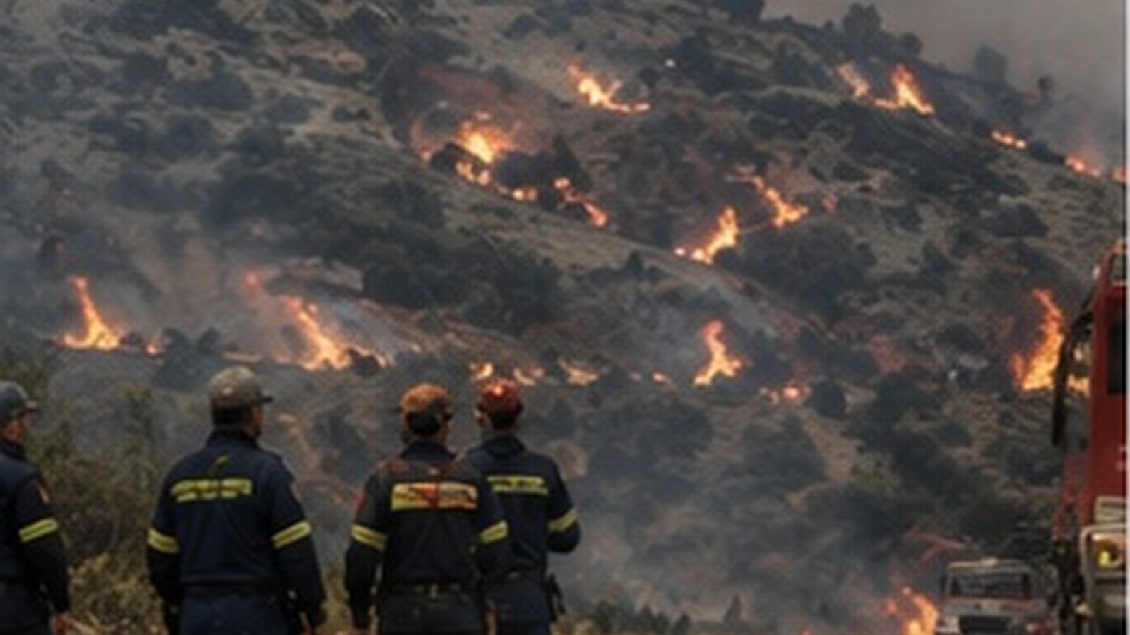
The Fire Risk Forecast Map of the General Secretariat for Civil Protection places Attica, the Peloponnese, Central Greece, much of Epirus and almost the whole of the island territory in risk category 3, i.e. high risk, for Friday, August 21.
English Machine-translated from Greek · Read the Greek original
Greek local news in your inbox, every morning.Subscribe free →
The Fire Risk Forecast Map issued by the General Secretariat for Civil Protection places much of the country in risk category 3, i.e. high risk, for Friday, August 21. According to the map’s data, as published by “TA NEA”, the same level covers Attica and Kythira, Boeotia, Evia and Skyros, as well as Fthiotida, Fokida, Aitoloakarnania, Thesprotia, Preveza and Arta. High risk is also forecast for Argolida, Korinthia, Ilia, Messinia and Laconia, for Kefalonia, Ithaca and Zakynthos, for the Sporades and the northeastern Aegean islands, and also for Crete, the Cyclades and the Dodecanese. The same category also includes parts of the prefectures of Magnisia, Achaia, Arkadia and Evros.
The map’s scale has five levels, from 1, corresponding to low risk, to 5, meaning alert status. Category 3 does not indicate a fire will break out, but that if one does start, it is likely to spread quickly and hamper firefighting efforts. The map is compiled daily and issued in the afternoon for the following day, so the services involved can adjust the deployment of their forces in time and regions and municipalities can activate their own readiness measures. In practice it functions as a tool for pre-emptive resource allocation: based on the forecast, vehicles, crews and aircraft are moved toward higher-risk areas before any incident occurs. The advisory accompanying the map calls on citizens to avoid any activity that could start a fire and to follow the authorities’ instructions.
The geographic scope of the forecast covers almost the entire southern and island body of the country, from Epirus and Central Greece to the Peloponnese, the Ionian islands, the Aegean and Crete. These are areas with low shrub vegetation, pine forests and extensive farmland, where summer’s dry biomass acts as flammable material. On the islands, the difficulty is also operational, since reinforcement with ground forces requires transport by ship, and the distances between settlements, crops and forest areas are small. The country is currently in a hot spell, a factor that increases the dryness of vegetation and reduces the available response time from the moment a fire starts. August also draws the largest number of visitors to many of these areas, meaning traffic on rural and forest roads stays elevated until late at night.
A new map is expected on Friday afternoon for Saturday, August 22, and may change the levels by area, depending on temperature, humidity and wind strength. No ban on access to forests and areas of natural beauty has been announced for the areas placed in category 3, a measure that is usually decided separately by the regional authorities concerned. No change in the deployment of aircraft has been announced either, nor any preventive evacuation of a settlement. On Thursday, August 20, high risk already covered dozens of areas of the country, while Friday’s forecast coincides with the extended hot spell with temperatures reaching 40 degrees. Updates for the coming days will come from official announcements by Civil Protection and the Fire Service.
Πηγές
- Πρωτογενείς πηγέςΥψηλός κίνδυνος πυρκαγιάς την Παρασκευή – Ποιες περιοχές βρίσκονται στο «πορτοκαλί» — ΤΑ ΝΕΑ · δημοσιεύθηκε 2026-08-20 · ανακτήθηκε 2026-08-20