Fires: high risk in 30 areas on Thursday
The Fire Risk Forecast Map shows category 3 for Thursday 20 August across a large part of the country, while 47 rural and forest fires were recorded in twenty-four hours.
English Machine-translated from Greek · Read the Greek original
Greek local news in your inbox, every morning.Subscribe free →
A high risk of fire, that is category 3 on the five-point scale, is forecast for Thursday 20 August in a large part of the country, according to the Fire Risk Forecast Map of the General Secretariat for Civil Protection. As the news outlet in.gr reports, this category includes Attica and Kythira, Boeotia, Evia and Skyros, Fthiotida, Fokida, Aetolia-Acarnania, Thesprotia, Preveza and Arta, Argolida, Corinthia, Ilia and Laconia, the Sporades, Lesvos, Chios, Psara, Samos and Ikaria, Kefalonia, Ithaca and Zakynthos, the Cyclades, the Dodecanese, Heraklion and Lasithi, as well as parts of Magnesia, Achaia, Arcadia and Evros.
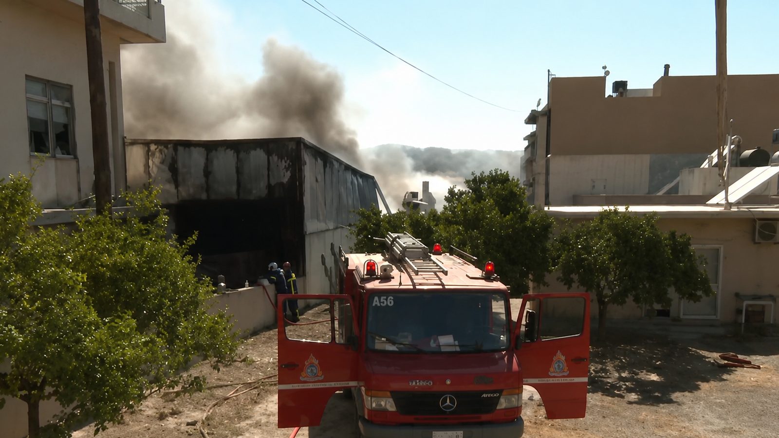
According to a report by the Fire Service published by the newspaper Ta Nea, in the last twenty-four hours 47 rural and forest fires were recorded across the country. Thirty-seven of them were dealt with immediately at the initial stage, while ten remained ongoing. On rural and forest land at Thiva, where the fire started at around 15:30, 22 firefighters operated with a ground unit team of the 4th Special Forest Operations Unit, six vehicles, two aircraft, one helicopter and water tankers of the local authorities. The causes of the fires are being investigated by the investigation offices and by teams of the Arson Crime Directorate. The municipalities’ water tankers supplement the fire engines in prolonged operations, as they ensure a continuous water supply away from the water intake points.
The Fire Service remains at the second stage of operational readiness, with increased aerial and ground patrols in high-risk areas. At the same time, a preventive ban on vehicle traffic and on visitors remaining in national parks, forests and vulnerable areas may be imposed, a measure that is as a rule announced the previous afternoon by the individual regions. Also in force is the nationwide ban on burning rubbish and dry grass in outdoor areas, as well as the recommendation to avoid work with machinery that produces sparks.
Category 3 means that, if a fire breaks out, conditions favour its rapid spread and it may become difficult to tackle with the available resources. Citizens are urged to be particularly careful, to avoid any outdoor activity that could start a fire and to notify the Fire Service immediately on 199. Self-protection information is available on the website of the General Secretariat for Civil Protection. On Tuesday 18 August category 3 had already been recorded in Attica, Central Greece, the northern Peloponnese and Evros, while Wednesday was a day of medium risk nationwide. The forecast map is issued daily in the afternoon for the following day and is based on meteorological data from the EMY, the state of the vegetation and the moisture content of fuel material.
Πηγές
Πρωτογενείς πηγές
- Ποιες περιοχές έχουν υψηλό κίνδυνο για φωτιά την Πέμπτη – Δείτε τον χάρτη πρόγνωσης — in.gr · δημοσιεύθηκε 2026-08-19 · ανακτήθηκε 2026-08-19
Μέσα ενημέρωσης
- Πυροσβεστική: 47 αγροτοδασικές πυρκαγιές το τελευταίο 24ωρο — Τα Νέα · δημοσιεύθηκε 2026-08-18 · ανακτήθηκε 2026-08-19