Attica-Boeotia: 111,732 acres in 91 hours
The massive fire across Attica and Boeotia burned 111,732 acres over approximately 91 hours, releasing at least 380 TJ of energy, according to analysis by the fire meteorology team FLAME. Fifty-five percent of the area burned in just two nights.
English Machine-translated from Greek · Read the Greek original
Greek local news in your inbox, every morning.Subscribe free →
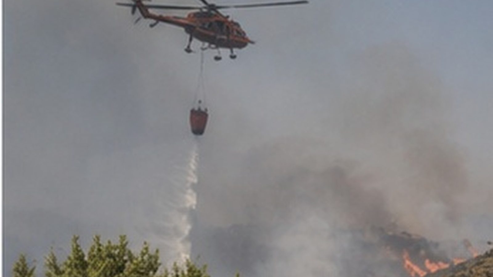
New data on the scale of the massive fire that struck Western Attica and Boeotia was published on August 7 by fire meteorology team FLAME. According to the analysis, the fire front burned 111,732 acres over a span of approximately 91 hours, from July 31 to August 4, 2026. This is one of the largest recorded fires in recent years in the region, both in extent and speed of spread.
The central metric of the analysis concerns the energy released. The team calculates that it reached at least 380 terajoules, a quantity which, for purposes of comparison, it equates to six atomic bombs of the Hiroshima type. The comparison is used as a scale of measurement and not as a description of the manner in which the energy was released, which in the case of the fire was distributed over four days and a vast area.
The analysis gives special emphasis to the nighttime behavior of the fire. Fifty-five percent of the total burned area, or 61,718 acres, burned during just two nights. During the same period winds exceeding 80 kilometers per hour were recorded, while the rate of front advance exceeded 2,000 acres per hour. These figures explain why ground forces had difficulty halting the fire’s progress.
Historically, night has acted as the “window” during which fires would lose intensity, as temperatures dropped and relative humidity rose. FLAME notes that this window is shrinking compared to twenty or thirty years ago, resulting in nighttime hours no longer providing the relief they offered in the past. This development is changing the planning of fire protection and the distribution of forces during a 24-hour period.
For the local communities of Western Attica, the data provides a measure of comparison for the scale of the destruction they were called to manage. Building inspections have already been completed in parts of the area, while processes for state aid and relief payments are underway. The restoration of the natural environment and flood-prevention protection of burned areas constitute a separate, long-term issue.
The figures come from a scientific team and not from official state records, which means they may be revised when final data from the competent services are published. No official estimate has been given to the public for the burned area by a government body, nor has there been an analytical breakdown by vegetation type. The question remains open as to how much of the area was forested and how much was agricultural or scrubland.
The next steps concern the publication of official burned-area maps and their incorporation into the demarcation and compensation processes. In parallel, the conclusions about the nighttime behavior of fires are expected to feed into the discussion on planning for the next fire season. It has not been announced whether the analysis will be formally evaluated by the Fire Department or by the Ministry of Climate Crisis and Civil Protection.
Πηγές
- Πρωτογενείς πηγέςFLAME: Energy from Attica and Boeotia fire equivalent to 6 atomic bombs — enikos.gr · δημοσιεύθηκε 2026-08-07 · ανακτήθηκε 2026-08-08Τι αναφέρει: FLAME analysis metrics: burned area, duration, energy and distribution of burning during nighttime hours.